Research, Survey & Project Development Services
CORE PILLAR 2
Research, Survey & Project Development Services
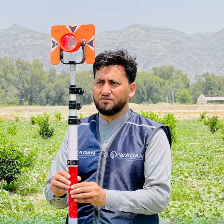
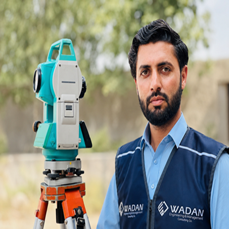
Research, Survey & Project Development Services are designed to provide reliable data, technical insight, and strategic planning for successful project implementation. WADAN conducts accurate topographic and cadastral surveys, geospatial mapping, and GPS data collection to support planning and land management. We carry out feasibility studies, technical assessments, disaster risk reduction (DRR) assessments, environmental and social impact assessments (ESIA), and risk and vulnerability analyses to identify opportunities, challenges, and potential impacts. Our team also prepares detailed cost estimates, Bills of Quantities (BOQs), and quantity surveying reports to ensure accurate budgeting and resource planning. In addition, we specialize in project and business proposal development, as well as professional technical reporting and documentation, delivering high-quality outputs that meet donor, government, and industry standards.
-
Topographic & cadastral surveys
-
Geospatial mapping & GPS data collection
-
Feasibility studies & technical assessments
-
DRR assessments
-
Environmental & social assessments (ESIA)
-
Risk & vulnerability analysis
-
Cost estimation, BOQ & quantity surveying
-
Project design & proposal development
-
Business proposal development
-
Technical reporting & documentation
Latest Works
Architectural Design & 2D/3D Visualization
8 Floor Market
Jalalabad City
Our Clients